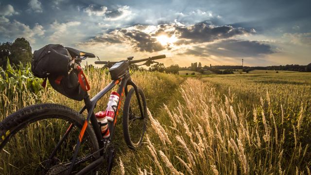
Seine-Eure is the ideal place to take a breath of fresh air on a mountain bike! Just an hour from Paris and 30 minutes from Rouen, at the gateway to Normandy, the environment of the Seine and Eure valleys offers wide-open spaces, hillsides and forests to enthusiasts and seasoned mountain bikers alike. A real nature break for lovers of a fun, environmentally-friendly outdoor sport.
Experience
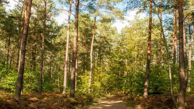
6 mountain bike trails in the forest
Seine-Eure: Nature on all terrains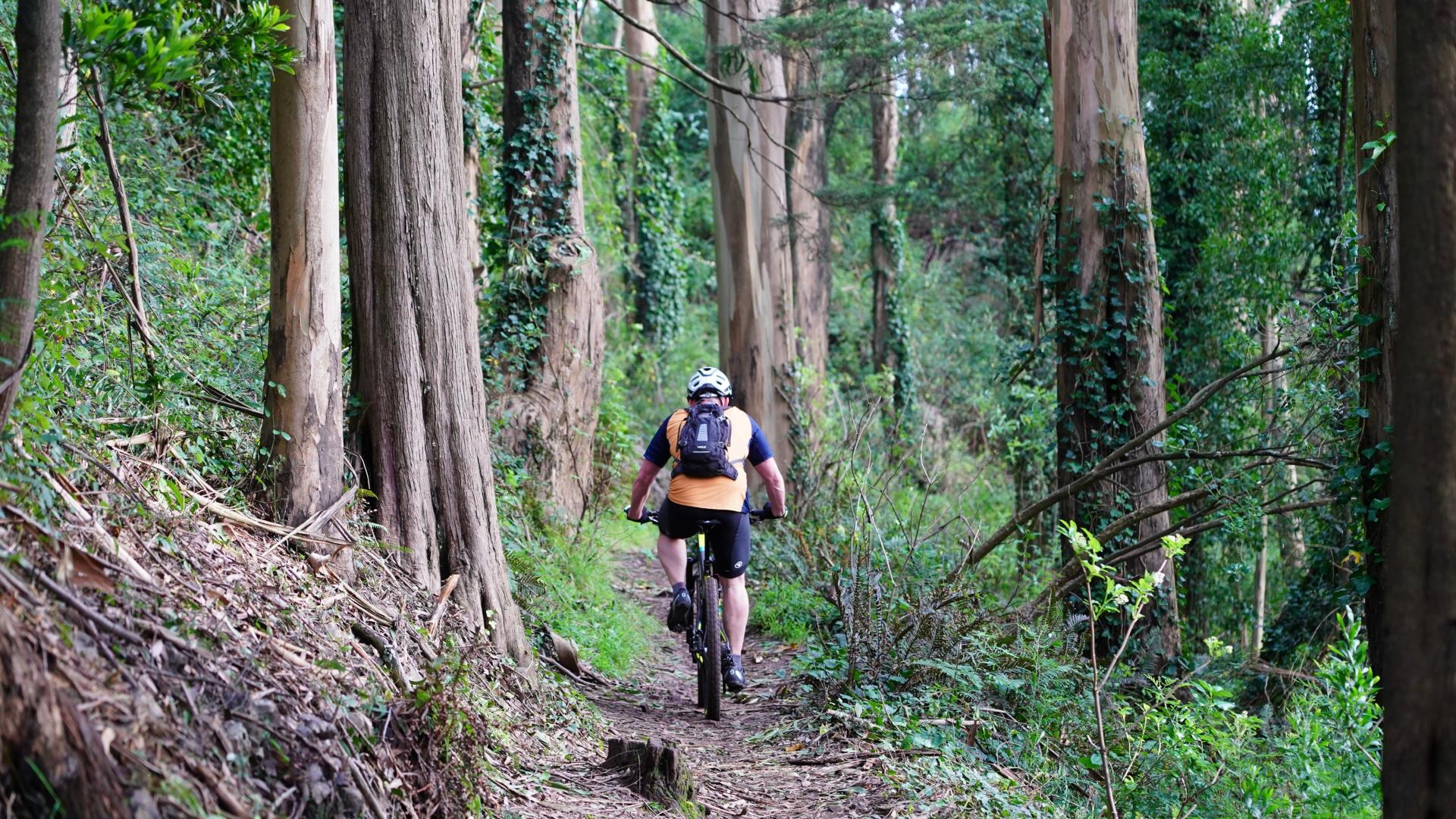
 Nature break on mountain bikes
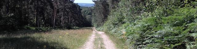
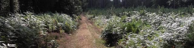
With numerous routes available for all ages and all levels, the Bord-Louviers national forest site is a prime location for all types of cycling in the great outdoors: from simple hikes to challenging cross-country sports. Seine-Eure Tourisme and the local mountain bike clubs have selected 6 mountain bike itineraries to help you stretch your legs and feast your eyes at the same time!
The links to the GPX tracks for the circuits are taken from the OpenRunner.com website.
Fun in complete freedom!

 A natural sport
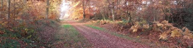
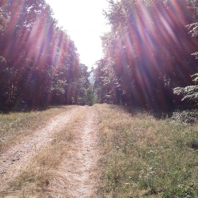 Vallée De L 'eure
 Mountain biking in the forest
1. Circuit de la Sente aux Moines à Montaure
Starting from the maison forestière de la Sente Aux Moines
Coordinates: 49º 15.223’N 001º 04.912’E
Meet at Montaure in the Terres-de-Bord commune, to start and complete this 30.15 km loop on tracks and paths through the Forêt de Bords-Louviers towards Incarville and then Tostes before returning to its starting point at the forest house on the magnificent Sente aux Moines. Forest scenery guaranteed for almost 400m of ascent.
2. Circuit de la mare Asse à Saint-Pierre-lès-Elbeuf
Starting from the mare Asse car park
Coordinates : 49º 16.068’N 001º 03.338’E
A 10.143 km circuit in the heart of the Bord-Louviers forest on tracks and paths for a 150m vertical drop.
3. Circuit du Rond de Cobourg
Starting from “Rond de Cobourg” – Les Damps
Coordinates: 49º 17.245’N 001º 07.048′ E
A demanding 17km route with a 325m vertical drop in the Bord-Louviers forest at an advanced level, for seasoned riders!
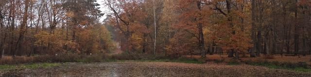
 Route Forestière Des Damps
 4. Circuit de l’aire de Criquebeuf
Starting from the aire de criquebeuf – Commune de Criquebeuf-sur-Seine
Coordinates : 49º 17.397’N 001º 06.052’E
A magnificent loop of just over 25 km that will take you through the Bord-Louviers national forest from west to east between Criquebeuf-sur-Seine and Le Vaudreuil with a height difference of 325m.

5. Circuit du Château d’Eau Saint-Lubin
Starting from the Château d’Eau Saint-Lubin near Louviers.
Coordinates: 49º 12.849’N 001º 08.587’E
A circuit of around 12km and around 150m ascent for a short loop in the eastern part of the Bord-Louviers forest, near the Bois du Défends where there are some remarkable trees.
6. Le tour de la Forêt de Bord-Louviers
Departing from commune de Saint-Pierre-lès-Elbeuf
63.64 km for a great discovery trail that will allow you to enjoy the diversity of the forest environment of the Bord-Louviers forest on roads, tracks and paths, passing in particular through the communes of medieval Pont-de-l’Arche and the charming village of Le Vaudreuil. A complete forest mountain biking experience.


Caution: in the absence of natural predators, hunting is authorised in the Bord-Louviers forest to regulate game and sustainably preserve natural resources.
Check out the calendar of hunting days before planning your mountain bike outing!